Vessel Behavior Anomaly by Indonesian Cloud is an integrated maritime surveillance platform. First, it uses high-resolution satellite imagery and real-time data to monitor ships. Consequently, the system instantly detects suspicious activities like deactivated AIS/VMS, illegal fishing, and territorial breaches. Furthermore, it provides authorities with predictive intelligence so that they can safeguard maritime assets efficiently.
01
24/7 tracking and two-way communication. In addition, we achieve this via seamlessly integrated satellite and VMS technologies.
02
Our system accurately anticipates vessel movements even when AIS is disabled. As a result, you can easily analyze foreign ship threats.
03
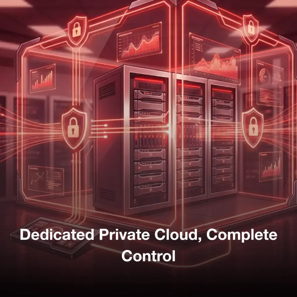
Finally, your data is hosted on certified local data centers. Therefore, we guarantee strict data sovereignty and security.
Instantly detects deactivated AIS/VMS. Meanwhile, it also flags illegal activities.
Analyzes foreign vessels' origin. Specifically, it tracks their origin and combat readiness.
Furthermore, it traces vessel trajectories. As a result, you can follow ships even after AIS deactivation in the EEZ.
This tool enables direct communication between ships and the Command Center. Additionally, captains can receive instant security alerts while sending quick status updates back to port.
This feature uses solar-powered emergency alerts for rapid response. Consequently, crew members can send distress signals instantly even if the main power fails completely.
Our system provides high-resolution visual tracking across territorial waters. Meanwhile, it captures clear data during bad weather so that no vessel goes unnoticed.
You can easily safeguard your valuable fleets and cargo. Specifically, our proactive, real-time monitoring protects assets by stopping unauthorized access and route deviations early.
This platform helps you streamline fleet management perfectly. As a result, you can quickly reduce downtime and optimize daily operations through continuous visibility.
Ensure corporate compliance without any hassle. Therefore, this lower insurance liabilities while keeping fleets strictly within designated operational zones.
Prevent cargo loss completely. Indeed, the system flags hidden vessel anomalies immediately so that you can block unauthorized at-sea transshipments.
Protect your onboard personnel with automated SOS alerts and guaranteed two-way emergency communication.
Keep your sensitive operational data safe and reliable. Furthermore, we host everything on certified local cloud infrastructure so it remains highly accessible to you.
Have questions? We’ve got answers. Explore our frequently asked questions to learn more about our solutions, features, and services.
Our platform automatically detects intentionally deactivated AIS/VMS signals and illegal fishing activities. Additionally, it flags unauthorized transshipments while catching licensing violations across your monitored zones.
Yes, the system traces vessel paths even when tracking devices are dark. Specifically, it utilizes high-resolution satellite imagery along with predictive AI models so that you can visualize the most likely path a ship took through the EEZ.
Absolutely, your crew can access reliable communication lines at any time. Indeed, our two-way VMS features let captains send quick status updates. Meanwhile, the solar-powered SOS backup ensures you receive critical distress signals even if the vessel loses total electrical power.
The platform continuously screens all foreign ships entering your territorial waters. As a result, it maps out their ports of origin and evaluates their overall combat readiness before they can become a direct threat to your operations.
Your sensitive operational records stay fully protected against data leaks. Furthermore, we host the entire ecosystem inside certified local cloud infrastructure. Therefore, your organization maintains absolute data sovereignty while keeping files completely secure and accessible.