Indonesia recorded 107,465 hectares of forest and land fires in the first half of 2026, according to SiPongi, the Ministry of Forestry’s official monitoring system. The same source records that figure as a sharp increase over the equivalent period in 2025.
For the agencies and state-owned enterprises responsible for responding, the constraint is rarely awareness that fires are burning. Hotspot alerts arrive daily and cost nothing. The harder problem sits in the distance between an alert and an operational decision. Where exactly is the fire edge? How large has the burn become, whose land is it on, and what does the area look like once the smoke clears?
Closing that distance is what tasked satellite imagery in Indonesia is for. The same capability that supports fire response maps land for the rest of the year.
What a Hotspot Alert Does and Does Not Tell You
Public hotspot feeds are genuinely useful, and most Indonesian agencies already use them. NASA’s FIRMS distributes near-real-time active fire detections from VIIRS and MODIS at no cost.
The current generation is a real improvement on the last. VIIRS I-band active fire data has a 375-metre spatial resolution against MODIS at 1 kilometre, which gives it a stronger response over small fires and better mapping of large fire perimeters. It also performs better at night. The three operational VIIRS sensors together achieve full global coverage every 12 hours.
What a hotspot is not, however, is a map. A detection marks that thermal activity occurred somewhere within a pixel. It does not deliver a fire boundary, a burned area figure, a land-cover context, or evidence that will hold up in an inter-agency review or a public accounting. Those require imagery of the area itself, acquired at a resolution and a moment that match the incident.
Three Constraints That Bite During Fire Season
Smoke and cloud blind optical sensors
Optical and multispectral instruments need a clear line of sight. During a severe haze episode, at precisely the point when imagery matters most, that line of sight disappears. Cloud cover over equatorial Indonesia compounds the problem for much of the year.
Synthetic Aperture Radar does not share this limitation. SAR is an active sensor: it transmits its own microwave signal and measures the return, so it acquires through cloud, through smoke, and at night. For fire-season monitoring in Indonesia this is not a marginal advantage. It is often the difference between having imagery of the affected area and having none.
Peat fires burn where surface sensors cannot see them
A substantial share of Indonesian fire activity occurs on peatland, where combustion moves below the surface and smoulders. Smouldering peat presents a much weaker surface thermal signature than flaming vegetation, which means standard hotspot products systematically under-represent it. Published research has examined long-wave infrared and nighttime thermal observation as routes to identifying these fires. That is why thermal infrared belongs in the sensor mix, not optical alone.
The operational consequence is familiar to anyone who has managed a peat fire: the surface appears extinguished, the hotspot count drops, and the fire continues underground.
Orbit timing does not follow incident timing
A satellite in a fixed orbit passes when it passes. An incident command post needs imagery of a specific block of land within hours of asking, not on the next scheduled overpass that happens to be cloud-free.
Tasking addresses this directly. Indonesian Cloud’s Satellite Imagery service operates as tasking-as-a-service, integrating over 475 satellites and constellations into a single workflow. Acquisition targets the area and window that matter, instead of assembling whatever the archive happens to hold. The platform covers multispectral, SAR, thermal infrared, greenhouse gas, radio frequency, and AIS maritime sensors, with stated data wait times dropping from weeks to minutes or hours, day or night.
Satellite Imagery for Area Mapping in Indonesia, Year-Round
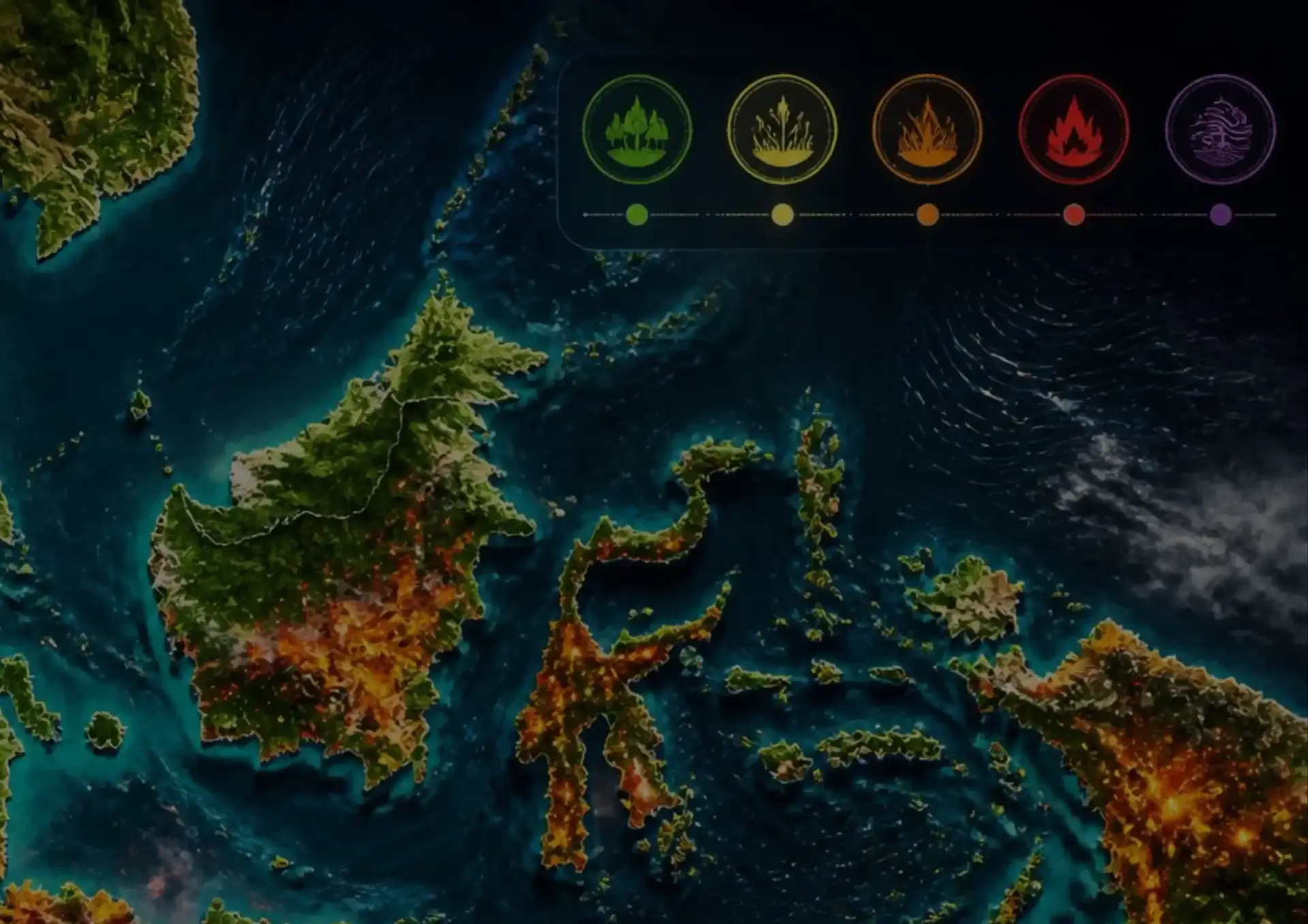
Fire response is the most visible application, but it uses infrastructure that does not sit idle for the other nine months.
Burned area accounting. Once an event ends, the question shifts from where is it burning to how much burned, on what land classification, and under whose management. Post-event imagery produces a defensible area figure rather than an estimate.
Land cover change detection. Comparing acquisitions across time reveals clearing, encroachment, and conversion. The platform performs object detection and land-cover change extraction automatically rather than leaving analysts to compare scenes by eye.
Restoration verification. Rehabilitation programmes run against funding targets. Repeat imagery of the same coordinates provides independent evidence of what actually took root, which matters when a programme is audited.
Boundary and concession monitoring. Where responsibility for a parcel is disputed, imagery with a timestamp and a location is more useful than a site report written afterwards.
Asset and corridor monitoring. For state-owned enterprises managing transmission lines, pipelines, ports, or plantation estates, the same acquisition workflow supports routine inspection at a scale field teams cannot cover.
For agencies with coastal or maritime responsibilities, AIS and radio frequency sensing extend the same approach to vessel activity.
Where Satellite Imagery of Indonesian Territory Is Processed
Imagery of Indonesian territory, combined with analysis of what it shows, is sensitive material. Where a provider processes and stores it is a regulatory question, not only a technical one.
Government Regulation No. 71 of 2019 requires public electronic system operators to manage, process, and store their electronic systems and data within Indonesian territory. For a ministry, a provincial agency, or a state-owned enterprise, an imagery platform that processes national territorial data offshore introduces a compliance problem alongside the operational one.
Indonesian Cloud operates entirely within Indonesia, from Tier III and Tier IV certified facilities under Indonesian jurisdiction, with local support available 24/7. The imagery and the analysis derived from it remain inside the same legal system as the institution accountable for them. We examined this distinction in more detail in our article on data sovereignty and cloud jurisdiction in Indonesia.
Questions Worth Asking Before Procurement
- Which sensor types are available, and does the mix include SAR and thermal infrared rather than optical alone?
- How quickly can a specific area be tasked, and what is the realistic delivery window during haze conditions?
- Is pricing pay-per-use, or does it require a minimum commitment that a fluctuating operational budget cannot absorb?
- Where are the imagery and derived analytics processed and stored, and under whose jurisdiction?
- What analytics arrive with the imagery, and what still requires an in-house remote sensing team?
- Can the platform integrate with the systems the agency already runs?
Closing the Gap
Fire seasons in Indonesia are not a surprise. What varies is how quickly an institution moves from knowing that something is burning to knowing precisely what, where, and how much, with evidence that survives review.
Free hotspot feeds solve the first part well. The second part requires imagery of the specific area, acquired when it matters, through whatever weather is in the way, and held under Indonesian jurisdiction. Indonesian Cloud’s Satellite Imagery service addresses that second part. It runs pay-per-use with no minimum spend, so capability matches the operational calendar instead of a fixed annual contract.
Frequently Asked Questions
Can satellite imagery detect fires through haze and cloud? Optical and multispectral sensors need a clear line of sight and are blocked by both. Synthetic Aperture Radar transmits its own microwave signal and measures the return, so it acquires through cloud, through smoke, and at night. During a severe haze episode in Indonesia, SAR is often the only sensor class that returns usable imagery of the affected area.
Why do peat fires often go undetected by standard hotspot data? Peat combustion moves below the surface and smoulders, producing a far weaker surface thermal signature than flaming vegetation. Standard hotspot products systematically under-represent it, which is why a surface fire can appear extinguished while the fire continues underground. Thermal infrared observation, particularly at night, is the established route to identifying these fires.
Where is satellite imagery of Indonesian territory processed and stored? That depends on the provider. Under Government Regulation No. 71 of 2019, public electronic system operators must manage, process, and store their electronic systems and data within Indonesian territory. Indonesian Cloud processes and stores imagery and derived analytics entirely within Indonesia, under Indonesian jurisdiction.
Assessing your area monitoring requirements? Schedule a Free Consultation to discuss which sensor mix and tasking cadence fit your operational and regulatory needs.